Cristóbal Valenzuela Barrera
I'm a developer living in Brooklyn, NY. I'm the co-founder and CEO of Runway.
I was a researcher at ITP NYU Tisch School of the Arts. I've worked on open-source projects, contributed to AI research, and also made some art. I was born and raised in Chile. I'm primarily interested in building tools to augment human creativity. If that's interesting, join us. We are hiring.
Posts and Essays
- The Cost of a Frame
- NYU Tisch Honoree Speech
- The Age of the Discontents
- Universal World Simulator
- A New Medium
- On Encoding and Decoding
- You Have to Care
- Value Accrues to the Extremes
- It's All About The Pixel Economy
- The Rorschach Test
- Mark All That Apply
- A New Media Landscape
- Creative Software 2.0
- World Building
- Creative Meritocracy
- The Director's Cut
- A gym for the mind
- We're solving graphics backwards
- Expectations vs Reality
- Something else
- Taming the latent space
- We need more artists doing research
- The artist's revenge
- Sameness
- Art is about asking questions
- Oversimplify
- The medium is not the goal
Interviews and Talks
- AI Tools for the Creative Industry Bloomberg Screentime, October 9th, 2024.
- Instant Videos Could Represent the Next Leap in A.I. Technology The New York Times, April 4, 2023.
- ‘Not Everyone Is Trying to Build God’ The Information, August 4, 2023.
- Workshop on Machine Learning for Creativity and Design NeurIPS 2023, Dec 10, 2023.
- The Tools of Generative Art, from Flash to Neural Networks Art in America, January 8, 2020.
- AI could usher in new ‘golden era’ of cinema Semafor, Aug 30, 2023
Previous projects
- 2018 / ml5.js ml5.js aims to make machine learning approachable for a broad audience of artists, creative coders, and students.
- 2017 / The Alternative Late Show. Experimenting with Image-to-Image translation models (pix2pix) for character animations.
- 2017 / Text 2 Image. Interactive real-time Text-to-Image generation using Attentional Generative Adversarial Networks (AttnGAN).
- 2017 / Uncanny Road. A tool for collaboratively hallucinating a never-ending road using Generative Adversarial Neural Networks.
- 2017 / Scenescoop. A tool to find semantically similar scenes between any two films or videos.
- 2017 / Selected Stories. A generative text editor that uses four custom LSTM networks running in the browser to generate text.
- 2016 / Sequential Stories. An iOS app that can write fictional stories using only a Text-to-Image model that captions images.
- 2016 / Word2Beat. A tool that maps word embeddings or a word space vector to sound beats.
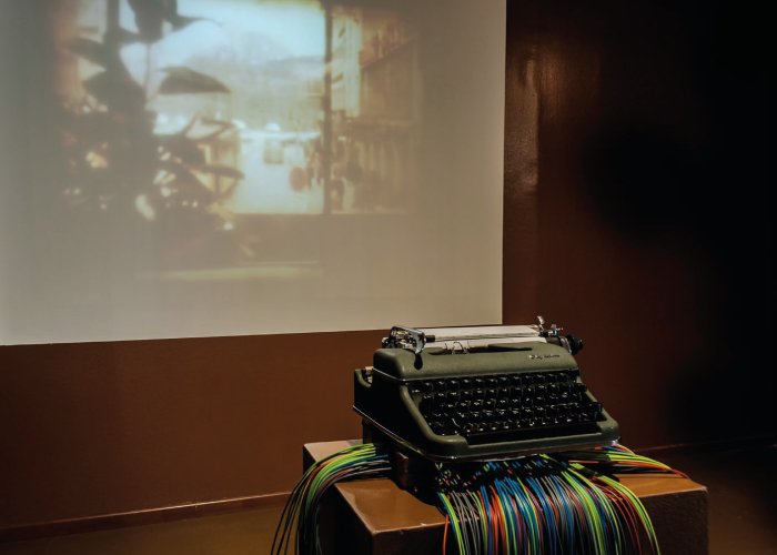
- 2012 / Regression. An interactive installation that uses a typewriter to create text based generative videos, T2V.
© 2024 Cristobal Valenzuela.